RV trip planning · by All Things Spatial

RV trip planning that knows your rig.

TrailPin routes by your rig's height, weight, and length — plans your driving days, watches the road ahead, and finds tonight's campground from 23,000+ curated, verified places.

$14.99/mo · plans renew automatically until canceled · cancel anytime

Built on data you can check: NPS · USFS · BLM · NOAA · USGS · USDOT · EPA · state park & DOT agencies · KOA · Good Sam · Passport America · Harvest Hosts — every place and every live layer shows its source and update time.

Features

Everything between “someday” and “we're here.”

Not a wiki. Not a generic maps app. A planning tool built on curated geospatial data, live government feeds, and the same routing engines professionals use.

Rig-aware routing

Enter your height, weight, width, and length once. TrailPin applies them as truck-restriction parameters in Esri's professional routing engine — and we're honest about the limits: restriction data coverage varies, so always obey posted signs.

Live road & sky conditions NEW

Road closures and work zones from state DOT feeds nationwide, weather alerts, rain radar, wildfire perimeters, and air quality — on the map and clipped to your route, refreshed about every 15 minutes.

Drive-time Day Planner

Tell it how long you want to drive each day. TrailPin marks where each day ends and suggests the best campgrounds within reach — one tap adds them to your trip.

23,000+ curated places

Public, private, membership, and unique stays — plus national parks, forests, EV charging, overnight-friendly stores, and emergency services on one explore map.

Community dump stations NEW

4,000+ stations — a national catalog members extend and correct. Every submission is reviewed by a human moderator before it appears, and every station names its source.

Elevation & grade warnings

See the climb before you're in it: route elevation profiles with steep-grade and high-altitude flags you can tune to your rig and comfort.

Place intel at your fingertips

A three-step Find tool searches TrailPin's complete curated data free — with live web-wide place search alongside. Every pin carries the details that matter, with the source named on every popup.

Your trips, saved and ready

Save trips, favorites, and bookmarks. Re-open a saved trip and the Day Planner picks up right where you left off — every map remembers your place.

A glowing route line crossing a map with live weather and road hazard zones

Live conditions

Know the road before you're on it.

Your route doesn't live in a vacuum — it crosses heat advisories, work zones, smoke plumes, and storms. TrailPin draws them on your trip, not on the evening news.

  • Road closures & work zones — official state DOT feeds (USDOT WZDx) from coast to coast, aggregated about every 15 minutes.
  • Weather alerts — live NWS/NOAA advisories and warnings, with onset and end times, on the map and your route.
  • Radar, wildfire & air quality — NOAA rain radar, NIFC fire perimeters, EPA AirNow smoke and AQ.
  • Click anything for the details — every alert shows its issuing office, timing, and update time.

Display only — a planning aid, not life-safety information. Conditions change; always check official sources before and during travel.

A Class A motorhome driving toward a high-clearance overpass at golden hour

Rig-aware routing

Routes that respect 13′6″.

Generic apps route you like a sedan. TrailPin sends your saved dimensions to Esri's professional truck-routing engine as restriction parameters — so roads and bridges with mapped restrictions your rig can't clear are avoided where that data exists.

  • Set it once — height, length, width, weight saved to your account; every route respects it automatically.
  • Professional engine — the same Esri network used by logistics fleets, with truck restrictions on.
  • Honest by design — no provider maps every low bridge. We say so, in the app and right here: always obey posted signs.

Curious exactly how it works? The in-app Help spells out every parameter we send — transparency no one else in this market offers.

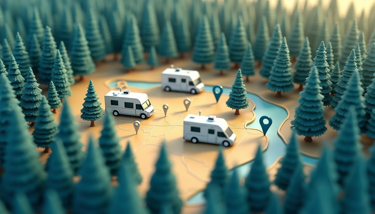
A stylized map with location pins over a forested RV campground

Community

Dump stations, kept honest.

The dump-station map every RVer wishes existed: a 4,000+ station national catalog seeded from public sources — then extended and corrected by the people who actually use them.

  • Members add & fix — new stations, photo evidence, edits, and “confirmed working” check-ins.
  • Humans moderate — every submission is reviewed before it appears on anyone's map.
  • Sources stay visible — every station shows where its data came from and when it changed.

More community layers are coming — the pipeline is built.

How it works

Three steps to tonight's campsite.

STEP 1

Set your rig

Height, length, width, weight. Saved to your account — every route respects it automatically.

STEP 2

Compute your route

Add your stops and get a rig-safe route with distance, drive time, and fuel estimate — with live closures and weather drawn along the way.

STEP 3

Pick tonight's stop

Set your daily drive limit. TrailPin circles where each day ends and hands you the top campgrounds — add one with a tap.

Pricing

One plan. Everything included.

TRAILPIN

$14.99/month

  • Rig-aware routing & turn-by-turn
  • Live road closures, weather, fire & air quality
  • Drive-time Day Planner
  • 23,000+ curated campgrounds & POI layers
  • Community dump-station map & contributions
  • Elevation profiles & warnings
  • Saved trips, favorites, exports (GPX/KML)
  • Cancel anytime — no phone calls, no hoops
Start planning — $14.99/mo

Plans renew automatically until canceled. Cancel anytime.

Data

Every layer names its source. On purpose.

Trust in a planning tool comes from knowing where the data came from and when it was last touched. That's not fine print at TrailPin — it's the product.

Places & public lands

NPS, USFS, BLM, USACE, USFWS, TVA, state park agencies, KOA, Good Sam, Passport America, Harvest Hosts and other listed sources — curated and refreshed by All Things Spatial, with the source and update date on every popup.

Live conditions

USDOT WZDx work-zone feeds from state DOTs (plus a dedicated Illinois DOT integration) · NWS/NOAA weather alerts · NOAA MRMS radar · NIFC wildfire perimeters · EPA AirNow air quality. Refreshed ~every 15 minutes; display only.

Community contributions

Member-submitted dump stations, edits, and confirmations — human-moderated before publication, attributed, and timestamped. Curation plus community: each makes the other better.

FAQ

Fair questions.

Is TrailPin a GPS navigation app?

No — TrailPin is a trip-planning aid, not a navigation device. Always obey posted signs and verify clearances, closures, and campground details independently. Posted information on the road overrides anything in the app.

How does rig-aware routing actually work?

Your saved height, length, width, and weight are sent to Esri's professional routing service as truck-restriction parameters; roads and bridges with mapped restrictions your rig violates are avoided where that data exists. Restriction data comes from commercial road data and coverage varies — no provider guarantees every low bridge or weight limit is mapped. The in-app Help documents exactly what we send.

How current are road closures and weather?

Live layers refresh about every 15 minutes from official government feeds, and every popup shows its update time. They're display-only planning aids — not life-safety information.

Can I contribute data?

Yes — members add and correct dump stations today, with more community layers coming. Every submission is reviewed by a human moderator before it appears, and contributors get feedback on their submissions.

Where does the campground data come from?

From named, checkable sources — NPS, USFS, BLM, state park agencies, KOA, Good Sam, Passport America, Harvest Hosts, and more — curated and refreshed by All Things Spatial. Every place shows its source and update date right on the popup.

Can I cancel easily?

Yes. Account → Billing → Manage billing, effective at the end of your period. Canceling is as easy as signing up — that's policy, not a promise.

Does it work on my phone?

Yes — TrailPin runs in any modern mobile browser, and it's genuinely handy on the road for checking your route, conditions, and saved places. But we'll be straight with you: trip planning is a big-screen job. TrailPin is designed for a laptop or desktop when you're building an itinerary; your phone is for referencing the plan once you're rolling. If you'd love a dedicated mobile app, tell us: trailpin@allthingsspatial.io.